Visitors to the Paradise Lodge at Mount Rainier arrived to a blanket of snow Thursday after one of the first bouts of snowfall in Washington state this fall.
The Northwest could be in for a relatively frigid winter and above-average precipitation, according to forecasts from the National Oceanic and Atmospheric Administration, which released its outlook for this winter Thursday.
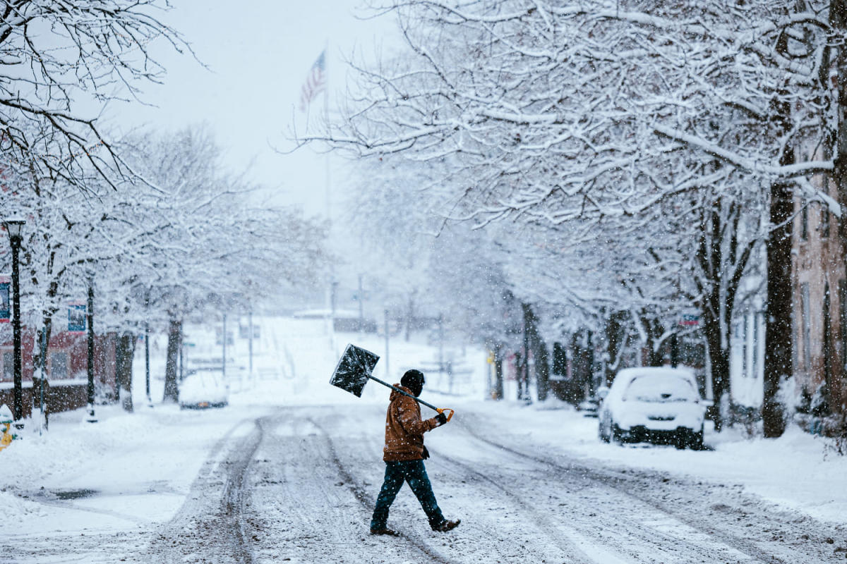
The Great Lakes region is also expected to be wetter than normal — conditions that could lead to more snow. The rest of the country, meanwhile, faces an average or warm and dry winter.
NOAA’s forecast is for Dec. 1 through Feb. 28, rather than astronomical winter, and it’s informed by the expectation that a La Niña pattern will develop. The natural ocean and atmospheric circulation pattern affects the jet stream, typically sending winter storms to more northerly latitudes and leaving Southern states drier and warmer than average.
Experts at NOAA say there’s a 60% chance that La Niña will develop by the end of November and a 75% chance it will develop by January. But the anticipated La Niña doesn’t appear to be very strong, which makes forecasting more challenging.
“Given its weak nature … we do have less confidence, and some of the impacts may not be as wide-ranging,” Jon Gottschalk, of NOAA’s Climate Prediction Center, said at a news conference. He added that during a weak La Niña pattern, the position of the jet stream can change more frequently than when it’s strong. That can produce weather that varies significantly from week to week.
Global temperatures rising because of climate change are also expected to influence the winter.
“Winter, for many reasons for us, is the fastest-warming season,” said Tom Di Liberto, a NOAA climate scientist. “If you look at the long-term sorts of patterns, the signal is clearly warming for winter.”
The pattern could foster or further intensify drought conditions in Southern states, including Arizona, New Mexico and Texas, which are expected to be relatively hot and dry. Drought conditions aren’t expected to be as pronounced in California, and if a stronger La Niña develops, it’s possible the northern part of the state could get higher-than-average precipitation.
“More than a quarter of the land mass in the continental U.S. is currently in at least a moderate drought,” Brad Pugh, operational drought lead with NOAA’s Climate Prediction Center, said in a news release. “The winter precipitation outlook does not bode well for widespread relief.”
The U.S. Drought Monitor puts that share of the continental U.S. even higher, estimating that 45% already faces at least moderate drought. About 68% of the high Plains states — North and South Dakota, Nebraska, Kansas, Colorado and Wyoming — are in moderate drought or worse.
In the West, heavy storms are already starting to bring snow to mountainous areas. A storm that developed in the Pacific is expected to bring heavy snow to the intermountain West and the Rockies this weekend.
As much as 40 inches could fall at high elevation in Colorado’s San Juan Mountains, according to National Weather Service forecasts.
This article was originally published on NBCNews.com